Vexcel Data Program (VDP)
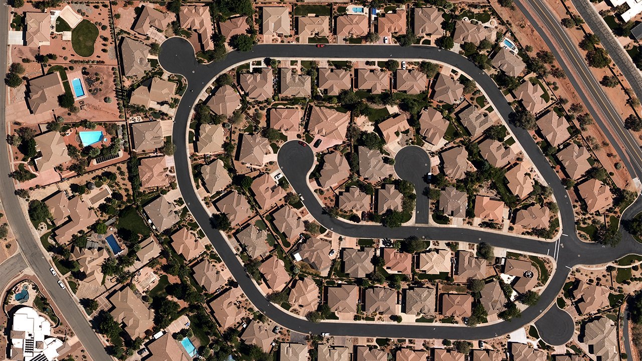
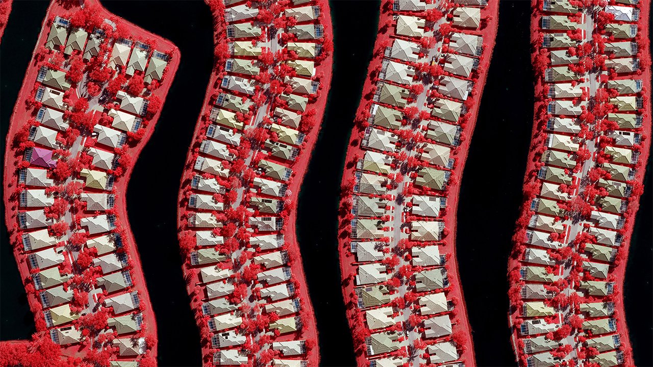
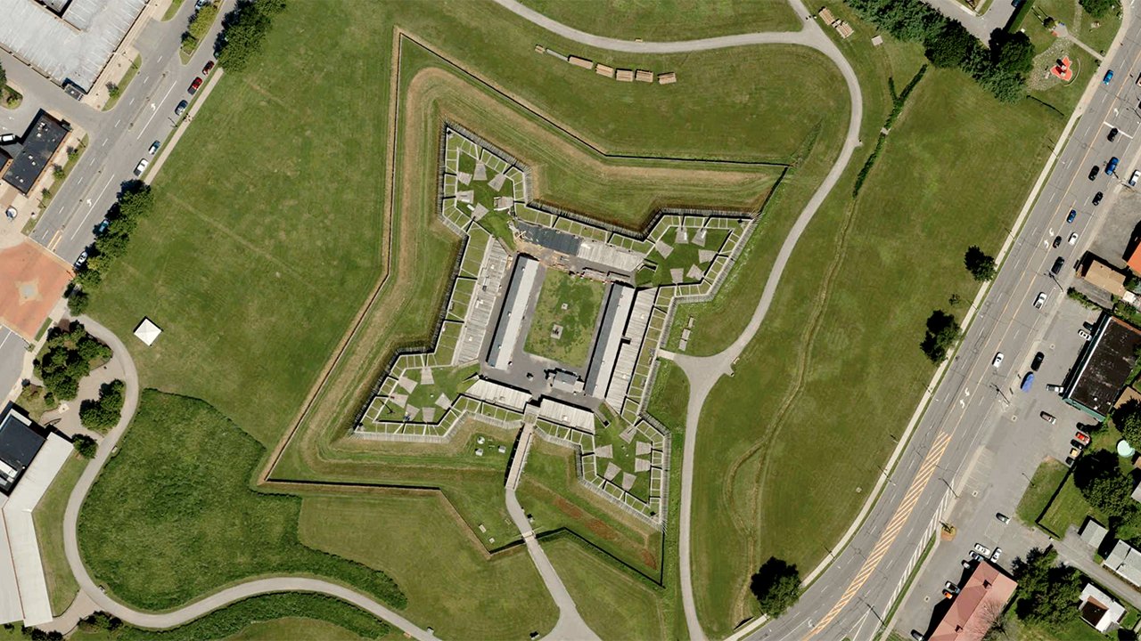
The Vexcel Data Program (VDP) is a hybrid cloud-based library service providing detailed and accurate aerial imagery previously collected and curated. Powered by Vexcel's UltraCam aerial sensors, the VDP offers aerial imagery along with derivative data products, including point clouds, digital surface models, and orthophotos. Customers can access this extensive dataset through application program interfaces (APIs) and Esri’s ArcGIS® platform. The VDP is already powering the Geospatial Insurance Consortium (GIC), an initiative launched by the National Insurance Crime Bureau to provide its 1,100 members with aerial pre-and post-disaster imagery.


