
Keystone owns some of the most advanced remote sensing sensors available. Sensor platforms are supplemented with a combination of additional equipment including stabilized mounts, dual frequency GPS receivers, and inertial measurement units (IMUs). Pairing the right sensor to the project is important and we can help.

26,460 x 17,004 pixels - one of the largest footprints on the market. Interchangeable 100mm & 210mm lens cone configurations. From 2cm imagery to wide area collects, this sensor offers state-of-the-art technology.

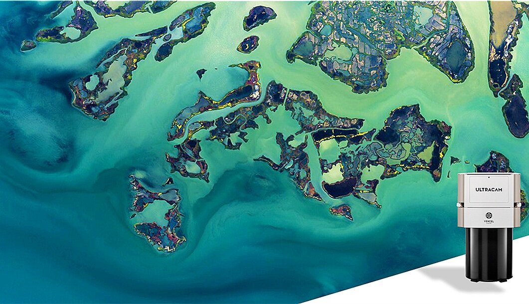
20,010 x 13,080 pixels - Keystone can capture more data in less time to complete mapping projects in fewer flight lines and with greater efficiency.

17,310 x 11,310 pixels - this sensor is the perfect solution for capturing projects as low as 1.7 cm GSD, perfect with the system’s 1.35 second frame cycle rate.

13,470 x 8,670 pixels (nadir) and 10,300 x 7,700 pixels (oblique) - this sensor houses two cameras in one photogrammetric grade housing, collecting nadir and oblique images simultaneously.

25,728 x 14,592 pixels - this sensor is the first large-format camera using CMOS sensor technology with unsurpassed image quality thanks to less image noise and almost zero blooming.

This system collects six 80 MP images, RGBI Nadir and RGB Obliques, coupled with a Hyperion2 - 2MHz pulse rate LiDAR sensor, making this an efficient solution for single sensor simultaneous collection.

1-MHz “on-ground” collection rate enables unprecedented point density. SwathTRAK™ technology reduces operating costs by maintaining fixed-width flight lines for consistent point density and fewer flight lines in variable terrain.