

Simultaneous Imagery and LiDAR Acquisition
Changing urban environments require frequent geospatial data updates.
The Leica CityMapper is expressly designed for airborne urban mapping and offers double the data collection that addresses the need for 3D data and products. The CityMapper captures one nadir (RGB/NIR) and four oblique (RGB) images allowing us to collect data in virtually every corner of a city. The sensor suite also contains a 2 MHz pulse rate LiDAR sensor making acquisition effective and efficient.

Our Fleet and Data Collection
Keystone offers high-quality remote sensing services that deliver the accurate data you need to make important decisions. We tailor data collection to meet our clients’ needs, so you have a dataset that works for you. With 30+ aerial survey aircraft in our fleet and the most advanced sensors on the market, we have the capacity and flexibility to overcome a variety of unforeseen challenges that could otherwise delay a project schedule.
CityMapper Sensor Details
Optical System
One nadir 80 MP camera (RGB & NIR)
Four oblique 80 MP cameras at 45° (RGB)
Backside illumination (BSI) CMOS chip
Mechanical forward-motion-compensation (FMC)
Customized low-distortion lenses

LiDAR Sensor
2 MHz pulse repetition frequency
Gateless Multiple-Pulses-in-the-Air (MPiA)
2 cm range accuracy
Oblique scan pattern
Even point distribution across data sets
USGS LiDAR quality Level 0 data from up to 2 km altitude
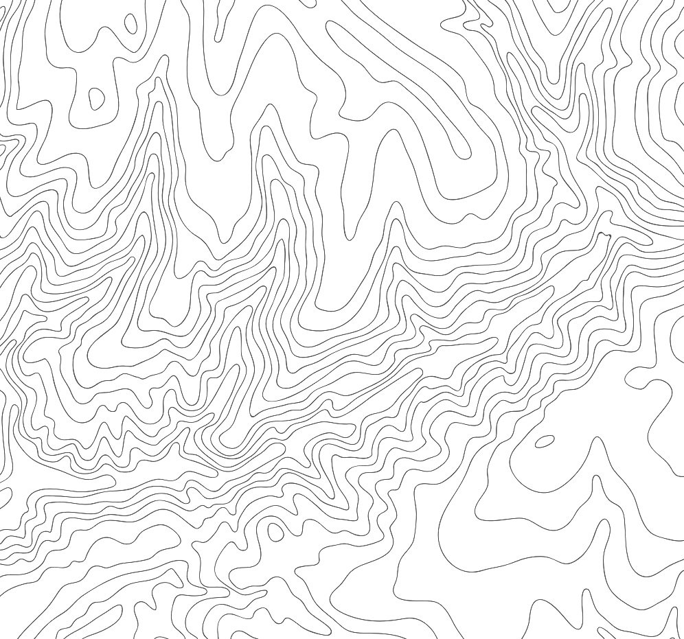
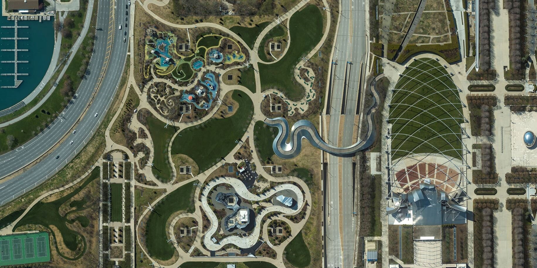
CityMapper Product Samples


Do you want to learn more about our Dual Acquisition services?
Reach out to us today to discuss your next project!