Aerial Imagery
Our Mission
Empower our customers with reliable aerial data and provide detailed locational information that powers our customers’ projects across the nation.
“A constantly changing world has increased our awareness regarding the importance of an accurate, current understanding of our environment and resources. Imagery and orthophotography products deliver geospatially accurate three-dimensional information of the earth’s surface useful for many mapping applications. ”
Why Choose Keystone for your Imagery Acquisition Needs?
We offer high-quality aerial imagery acquisition services which delivers the accurate data you need to make important decisions. In conjunction with state-of-the-art digital sensors and a highly trained staff with decades of experience, we have the resources to complete multiple ongoing projects throughout the contiguous United States. Our skilled team ensures your project is delivered according to your requirements and specifications in a timely manner.
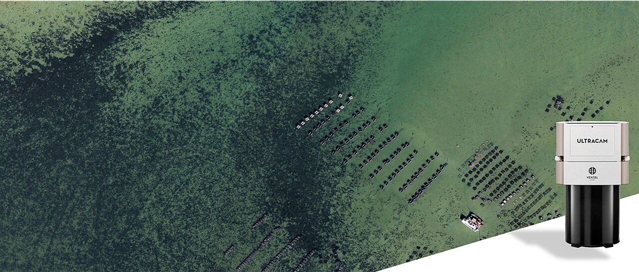
We are committed to providing the most affordable, accurate, and efficient method to acquire and analyze your data. From nadir and oblique imagery acquisition to aero-triangulation and orthoimagery services, Keystone can provide comprehensive aerial mapping solutions, using the latest software and equipment. Our strong partnership with Vexcel Imaging provides us the opportunity to stay ahead of the “curve” with the latest technology.
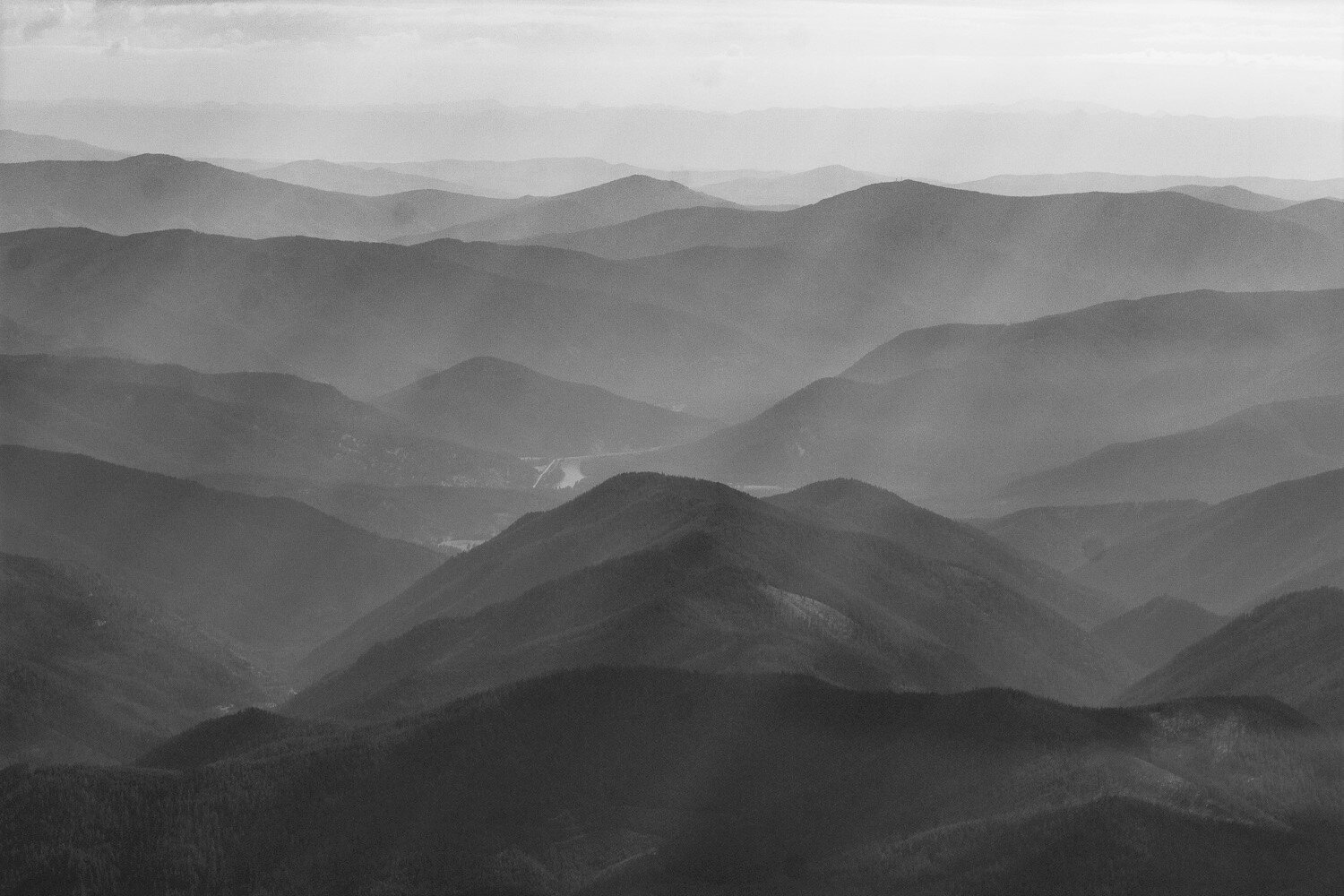
Image Resolution is important to your project.
You can’t measure what you can’t see. We have the capability to capture 1.7cm to 40cm, or better, ground sample distance (GSD) which allows you to see details on the ground and make critical decisions without estimates or guesswork. The following products illustrate capture options:

1.7cm GSD
1.7cm GSD provides the greatest visible detail on the ground with the best positional accuracy.

5cm GSD
5cm GSD reveals power lines, small infrastructure details, and fine details on roads and pavement.

10cm GSD
10cm GSD highlights curbs and gutters, transportation paint lines, infrastructure details, and power poles.

15cm GSD
15cm GSD still displays an enormous amount of detail, including vehicles, road markings, crop rows, and building details.

20cm GSD
20cm GSD allows for cost-effective capture while still showing details such as buildings, tree stands, and road location.

30cm GSD
30cm GSD is typically captured at higher altitudes, providing a cost-effective method to collect large-area projects.

Post-Processing via UltraMap®
UltraMap® is an all-in-one photogrammetric processing software that provides a straightforward workflow and constantly updated feature sets allowing us to produce the best possible product for our customers. The aerial photogrammetry software is designed to process huge amounts of UltraCam data in the shortest possible time with the highest degree of automation supported by powerful quality control tools. The end-to-end UltraMap workflow consists of five consecutive modules and provides premium UltraCam data processing from the ingest of raw data to the delivery of point clouds, digital surface models, digital terrain models, orthophotos, and 3D textured TINs. Click here to learn more.
KEY3D
Keystone can deliver KEY3D, a dense array of three-dimensional photogrammetrically derived point clouds delivered in a familiar LAS format. This dataset has an extremely high degree of accuracy in both the horizontal and vertical planes attributed to the accuracy of our UltraCam sensors and the use of multi-ray technology. The colorization of the pixels is performed using the same pixels/imagery used to derive the height information, making it a clear alternative from LiDAR colored by a camera. Be sure to ask us about this for your next project.

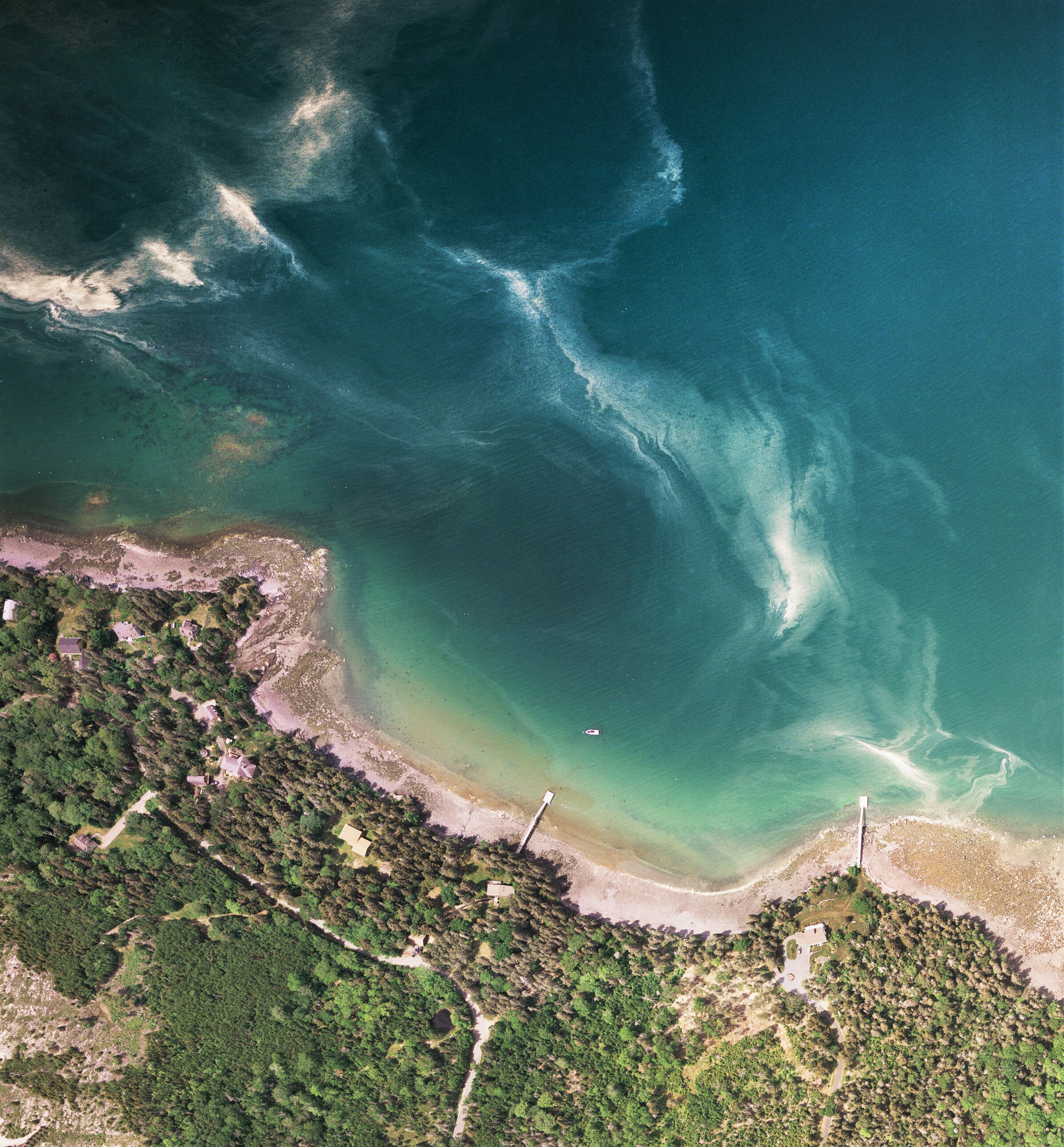
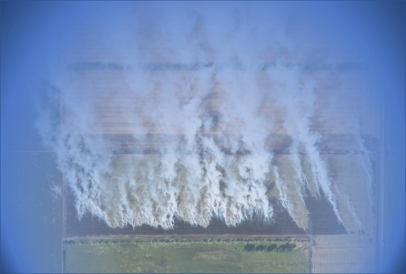
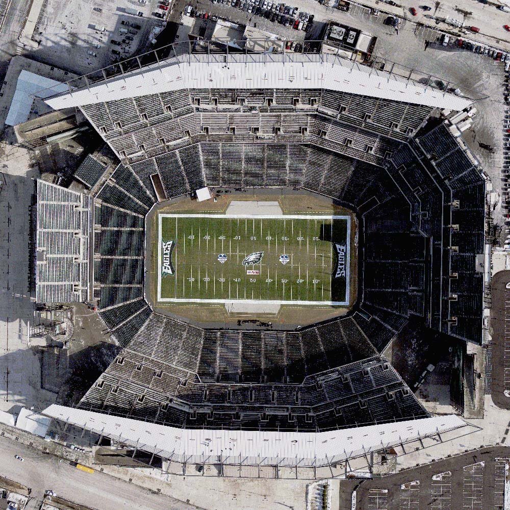
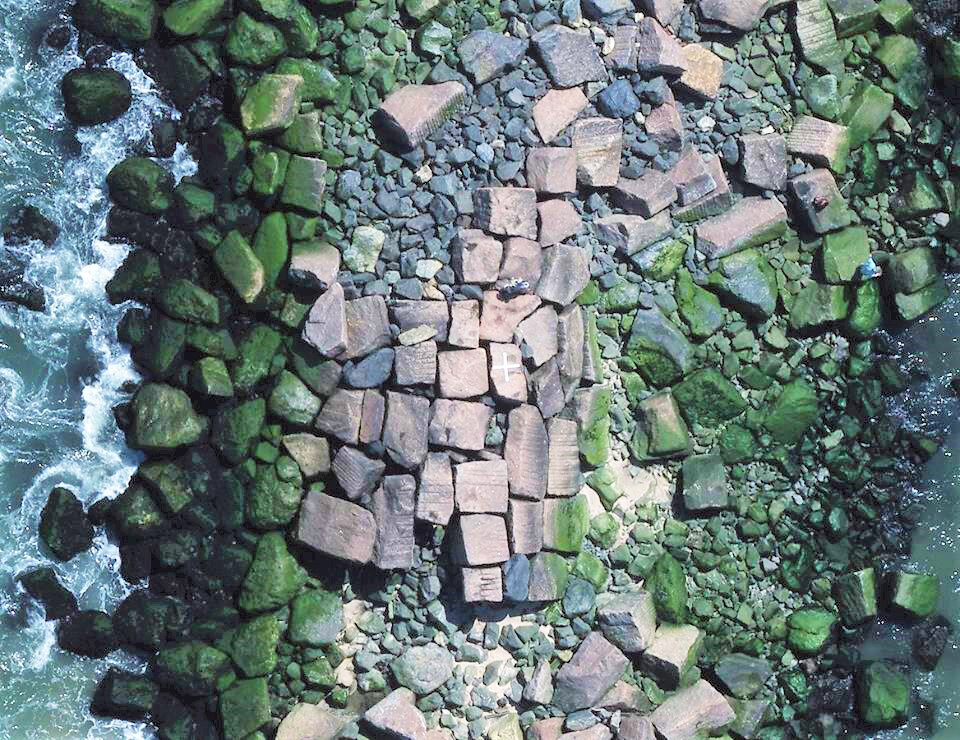
Imagery and Product Samples


Do you want to learn more about our imagery services?
Reach out to us today to discuss your next project!