


Keystone Aerial Surveys, Inc.
We are a professional geospatial data acquisition firm with fifty-nine years of experience and eight offices located throughout the United States. We offer high-quality remote sensing services that deliver the accurate data you need to make important decisions. We tailor data collection to meet our customers’ needs, so you have a dataset that works for you. With a large fleet of aircraft and the most advanced sensors on the market, we have the capacity and flexibility to overcome a variety of unforeseen challenges.
Career Opportunities

Why Choose Keystone?
Responsiveness
We pride ourselves on our efficiency and sensitivity to customer needs. We have and always will continue to search for ways to improve our services and provide innovative solutions.
Certified & Skilled Team
With dozens of licensed and certified professionals on staff, decades of experience, and institutional knowledge from industry leaders, you can trust that we will provide the attention your project deserves.
Relationships
It’s simple; Keystone cares. Repeat business is our goal and that only happens when we provide what you need when you need it. We listen to your concerns and strive to earn your trust, tailoring each project for you.
We offer a wide variety of services.

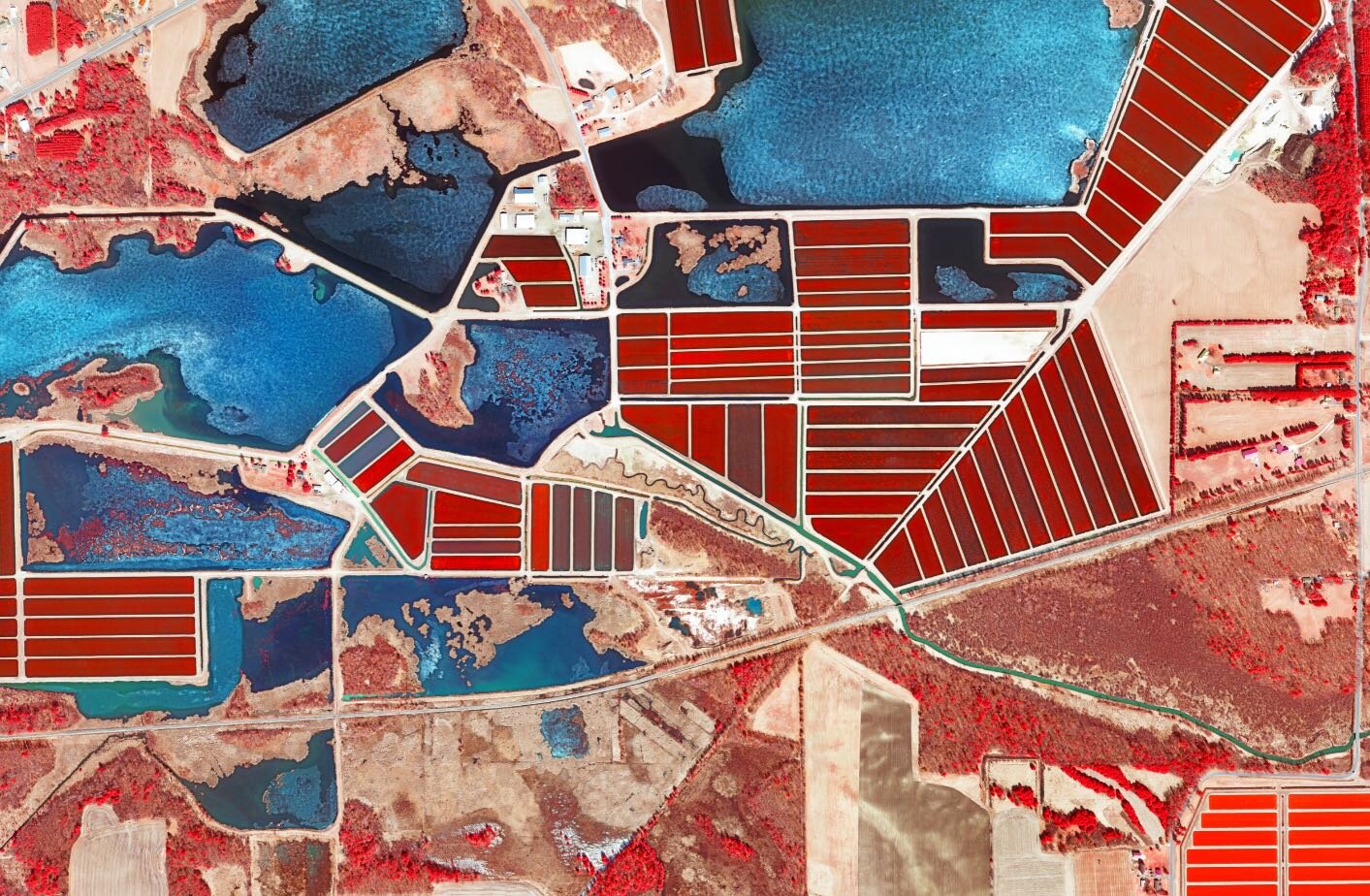
High-Resolution Imagery
Current, detailed location information via imagery powers our customer’s projects across the nation.

High-Density LiDAR
LiDAR data is an efficient and effective method for capturing highly accurate three-dimensional data.

Platforming Services
Keystone's aircraft provide a flexible and stable platform for any sensor or sensor package.

Contact Us
We’re here for you!